Engineering & Construction
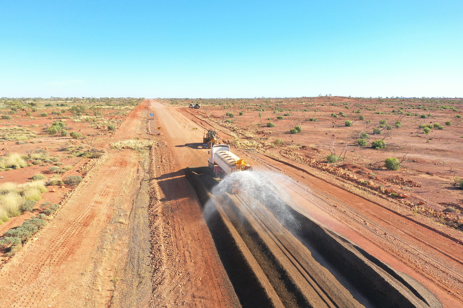
Make sure your project sticks to its specifications. Including as-constructed,as-built conformance and constructed surveying. We design, inspect, evaluate and manage the collection and analysis of spatial information associated with the design and construction of new infrastructure projects. Buildings, road and tunnel systems, marine & pile construction, pipelines, earthworks and renewable energy establishments. Providing the client with accurate data and plans which enables the project to be built with desired outcomes.
Volumetric Surveying
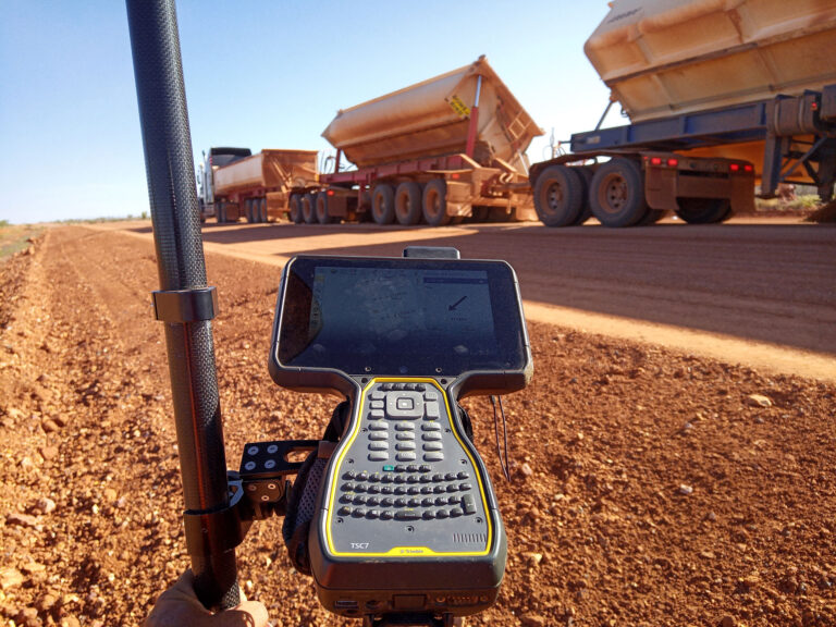
Measure and record your stockpile or earthworks volume. As your project evolves and changes we can provide efficient and accurate volume computations as material is added or removed. Implementing a volume analysis plan minimises error margins in volume calculations assisting in cost effective earthwork operations.
Machine Guidance & Control
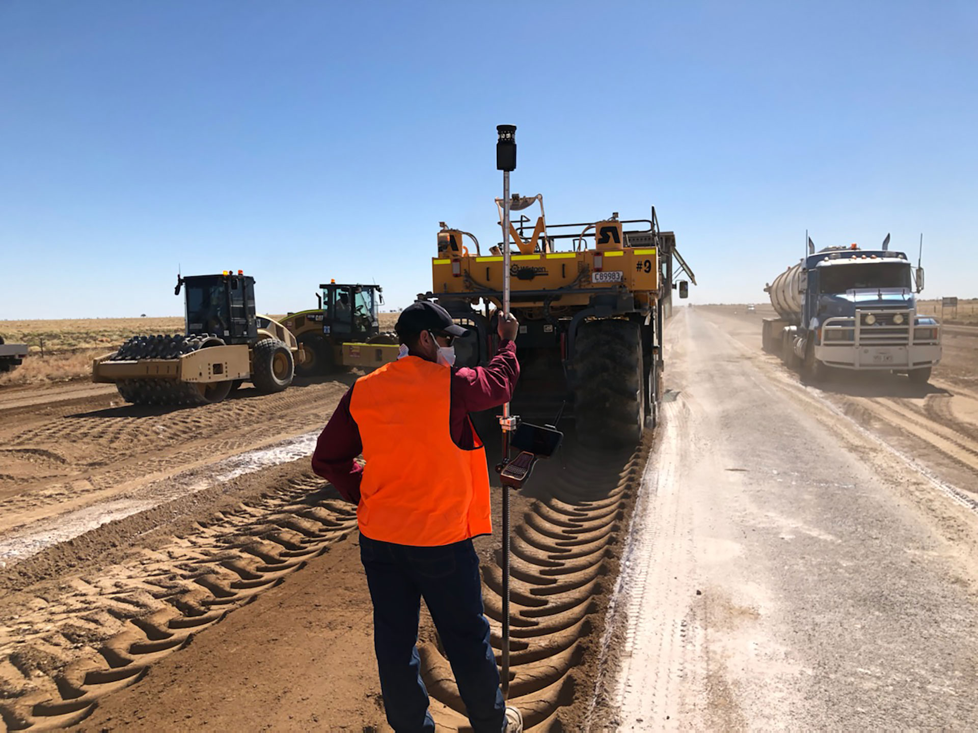
Combine machine operation with digital design data accurately and efficiently. Use your machinery in synchronisation with the digital design data to perform tasks. Adaptations and changes in design can be easily implemented as projects progress and evolve.
Terrestrial (TLS) & Mobile Laser Scanning (MLS)
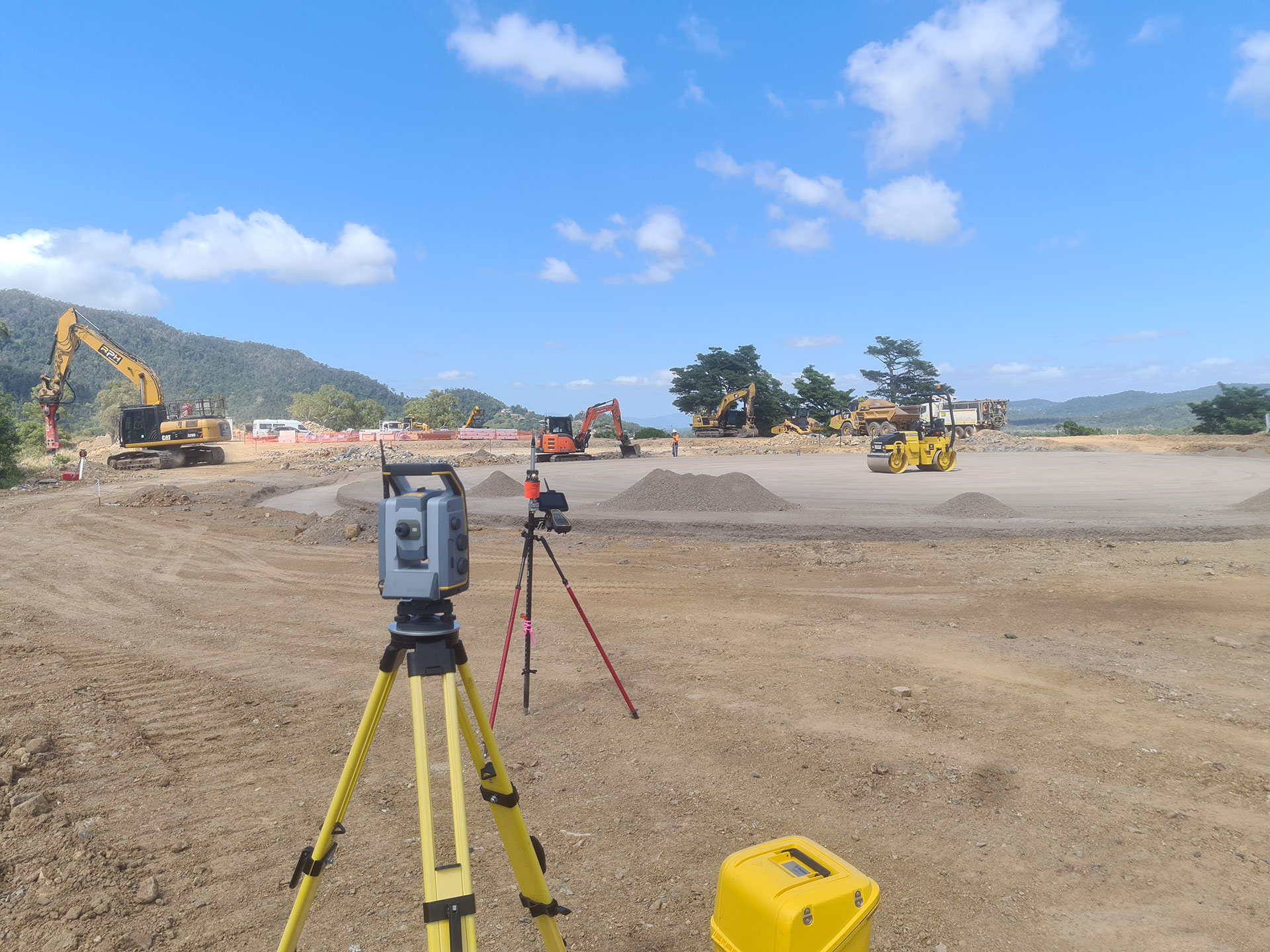
Utilise LiDAR Technology to create high resolution 3D images of surfaces and objects. Terrestrial laser scanning and mobile mapping captures large amounts of survey data and imagery quickly over complex projects. We work with experts who are committed to innovation and have become leaders in this technology providing services to support decision making during project design and planning.

Topographic Surveying
See your site’s natural and manmade surface features rendered in a 3D environment. Contour Surveys or commonly known as Site Surveys feature Topographic Surveying. The position of building, noteworthy structures, services, vegetation, easements and levels across the property. Details specific to the site, the starting point when planning a new land development or construction both residential and commercial.
These types of surveys can also be called, site survey, contour and detail survey, feature survey, detail survey or level survey.
UAV Surveying
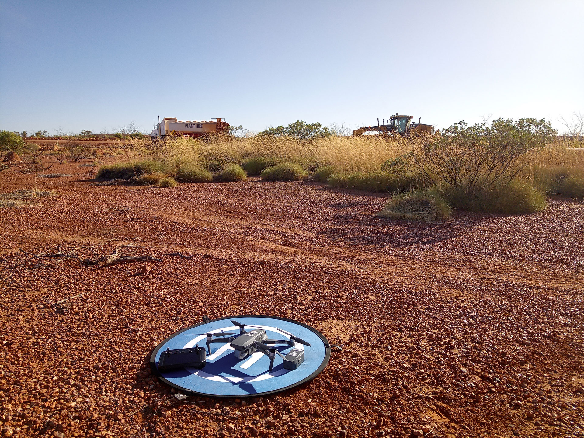
Providing detailed aerial surveys via drone is an innovative approach to surveying and mapping. Surveyors can capture data and identify topographical features. Drones take high definition photos or LiDAR at different angles which creates millions of data points. Elevation points, terrain details, colours and georeferenced images are captured and identified.
Utilising professional relationships we collaborate with other small businesses to complete the UAV Survey. Using experienced technicians in the operation of the equipment ensures the current regulations of the civil aviation safety authority were safely applied. The use of a UAV removes the risk of Surveyors walking over impossible terrain or high risk areas which provides the client with the detail to ensure the most accurate plan is produced. Aerial survey has the potential to deliver both accurate terrain models and high resolution ortho imagery which is necessary for some scope of works.
Hydrographic / Bathymetric Surveying
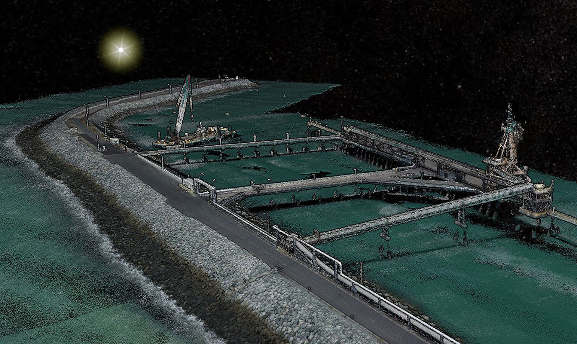
Inspect your site’s underwater topography and terrain in detail. This science is used to determine the feature of an underwater area assisting in construction and waterway planning. Working with a team of practised professionals in waterways we work productively and collectively to meet the specific needs of the Client.
Cadastral Surveying
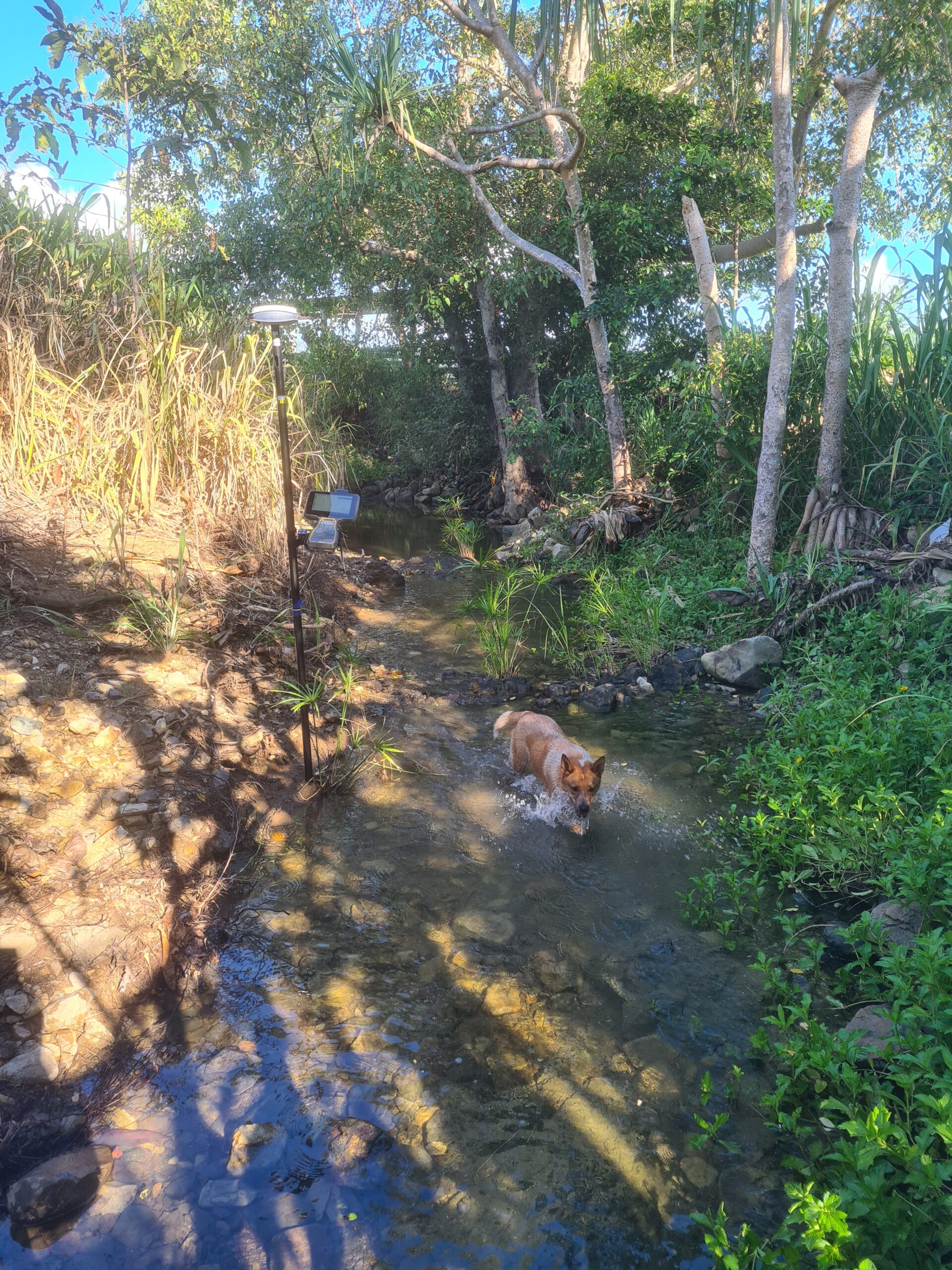
Defining an existing or new property boundary. Accurately defining property boundaries and understanding the laws of land ownership. This includes the identification of residential or rural boundaries, re-establishing boundaries that have been previously surveyed or creating new boundaries as part of the subdivision process. This information is recorded on a survey plan which is lodged with the relevant government agencies.
Solar Farms & Renewable Energy
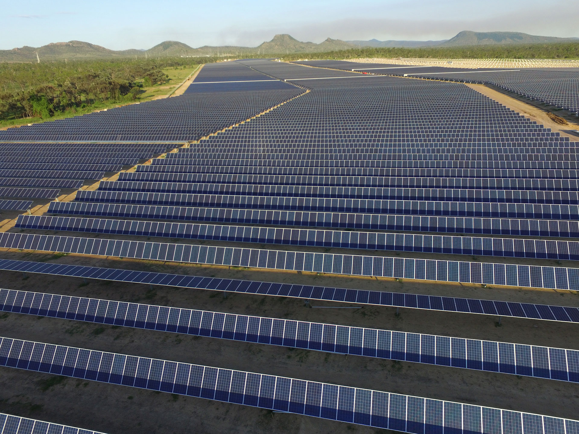
Our involvement in projects can range from topographic site survey, site establishment, cadastral surveys, site survey control, engineering surveys, setout of roads, trenches, inverters, setout of piles and as constructed surveys. We have developed a productive installation system which allows us to install pins at a high daily rate. With survey and construction often working simultaneously our objective is to remain in advance of multiple piling rigs.
A site survey provides the client with extensive topographical data relating to the site. The survey will provide information such as boundaries, existing infrastructure and the elevation of the land which is used in the planning stage of the project to establish the position of the proposed development in relation to the environment which enables the project to maximise the sunlight.
Providing speed, accuracy, safety and surveying solutions is key to a successful solar farm project. The LOCUS Surveys team works closely with all contractors to establish an efficient set-out process to boost the construction productivity.
These services can also be applied to wind farms and hydro projects
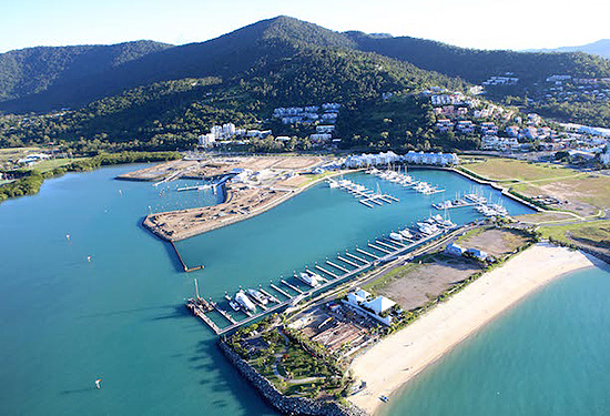
Marinas
We believe that we are specialists when it comes to marinas. With management of the survey and planning components of many large marines around the Whitsundays. These include but are not limited to Coral Sea Marina, Port of Airlie, Shute Harbour and Bowen Marina. Our services include, pile set and as constructed survey, topographic site survey, sea bed or bathymetry (hydrographic) surveys, free hold titling, marina berth lease surveys, volume surveys of dredge spoil and assistance with dredging.plan which is lodged with the relevant government agencies.
Lets Connect!
If you are looking for any of our surveying services above , just click the button below to get in touch